
Engineering geology & hydrogeology
Read the ground
as a system.
Geology, groundwater and geomorphology interpreted around the engineering decisions of the project.
Ground conditions in context
Beyond individual boreholes.
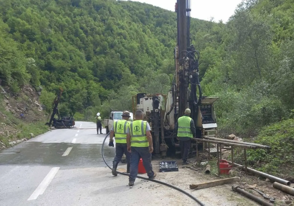
We connect observations from mapping, drilling, testing, groundwater monitoring and site morphology into a coherent understanding of how the ground formed, how it behaves and how it may change during construction.
Engineering geology
Materials, structure and geological processes.
Interpretation of soils, weathering, rock mass conditions, discontinuities, geomorphology and geological hazards at the scale required by the project.
- Engineering-geological mapping and field reconnaissance
- Lithological and stratigraphic interpretation
- Rock-mass description and discontinuity assessment
- Geohazards, erosion and slope-instability indicators
Hydrogeology
Groundwater as part of the ground model.
Assessment of groundwater levels, flow pathways, seasonal variability and their implications for excavation, foundations, slopes and construction.
- Groundwater observations and piezometer monitoring
- Permeability testing and hydrogeological interpretation
- Groundwater constraints for excavation and construction
- Input to drainage, dewatering and monitoring strategies
Interpretation built from evidence
From outcrop and core to a defensible ground model.
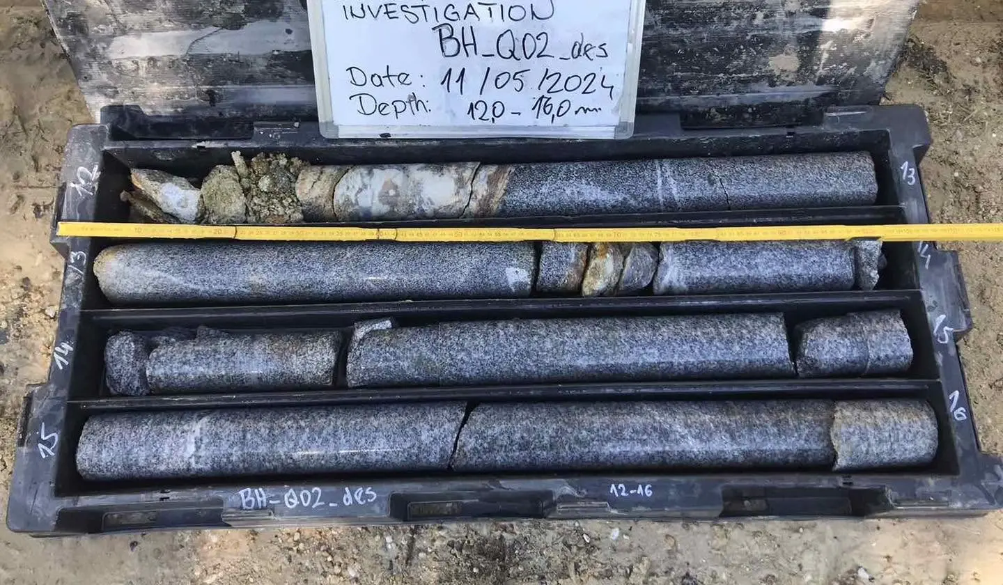
Field observations are reconciled with borehole logs, recovered core, in-situ and laboratory results, geophysics and groundwater records. The result is not a catalogue of data, but an engineering-geological model that explains the site.
What the project receives
Clear geological reasoning for design and construction.
Ground model
Engineering stratigraphy, geological boundaries, weathering and representative conditions.
Rock-mass characterization
Structure, discontinuities, quality and behaviour relevant to slopes, cuts and foundations.
Groundwater assessment
Observed levels, likely pathways, variability and project-specific implications.
Construction support
Verification, monitoring and interpretation as new ground conditions become visible.
Engineering-geological support