

Geophysical surveys
Geophysical
Surveys.
Broader, non-destructive subsurface characterization integrated with direct investigation data.
Continuous insight between investigation points
See more of the subsurface—not only where a borehole happens to be.
Geophysical surveys provide a broader view of ground variability, stiffness, layer continuity, rockhead and possible anomalies. We plan each survey around the engineering question and interpret it together with geology, drilling, in-situ testing and laboratory evidence.
MASW
Shear-wave velocity profiling for stiffness variation, seismic site characterization and ground-model development.
Surface waves · Vs profileSeismic refraction
Assessment of seismic velocity contrasts, layer geometry, weathered zones and approximate rockhead.
Velocity · layer continuityDownhole seismic
Depth-specific velocity measurements within a borehole for direct dynamic ground characterization.
Vp · Vs · depthElectrical resistivity
Imaging of resistivity variation to support interpretation of saturation, material changes and subsurface anomalies.
ERT · profiling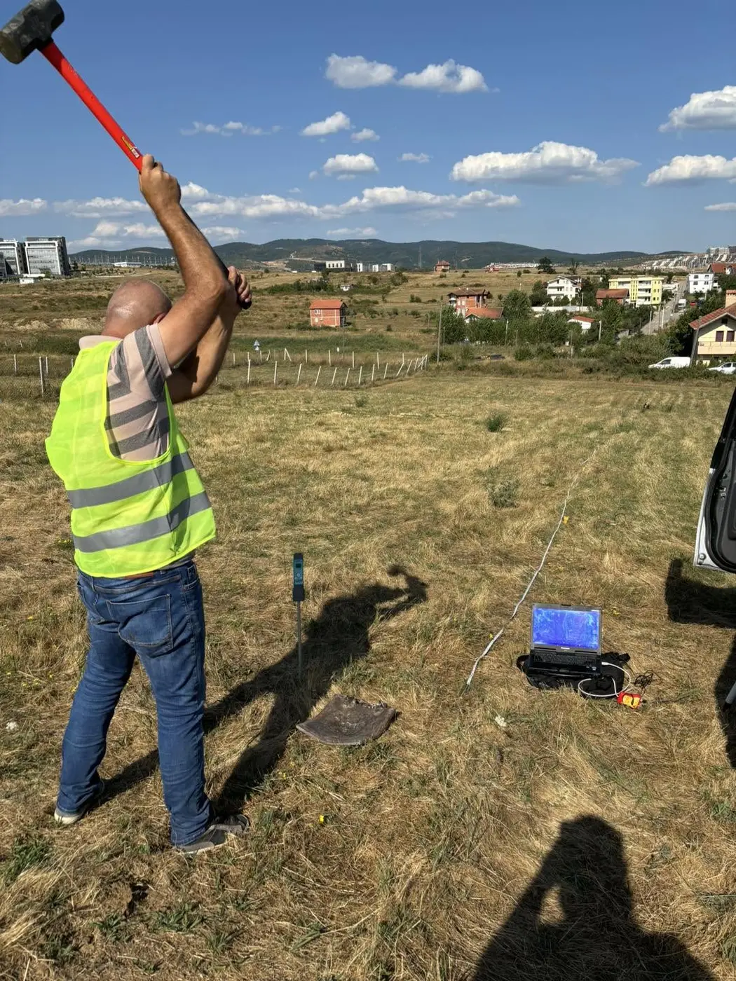
An integrated method
Acquisition is only the beginning.
- 01Define the questionRockhead, stiffness, continuity, anomalies or seismic parameters.
- 02Design the surveySelect the method, array, spacing and orientation for the site.
- 03Control field qualityCheck acquisition conditions and data response while still on site.
- 04Correlate & interpretReconcile results with boreholes, tests, groundwater and geology.
The Geokos principle
Geophysics does not replace drilling. It helps us connect the evidence between investigation points.
Direct evidenceBoreholes, samples and in-situ tests establish what the ground is.
Continuous responseGeophysics reveals how conditions may change across the site.
Engineering modelCombined interpretation produces a more defensible view of the subsurface.